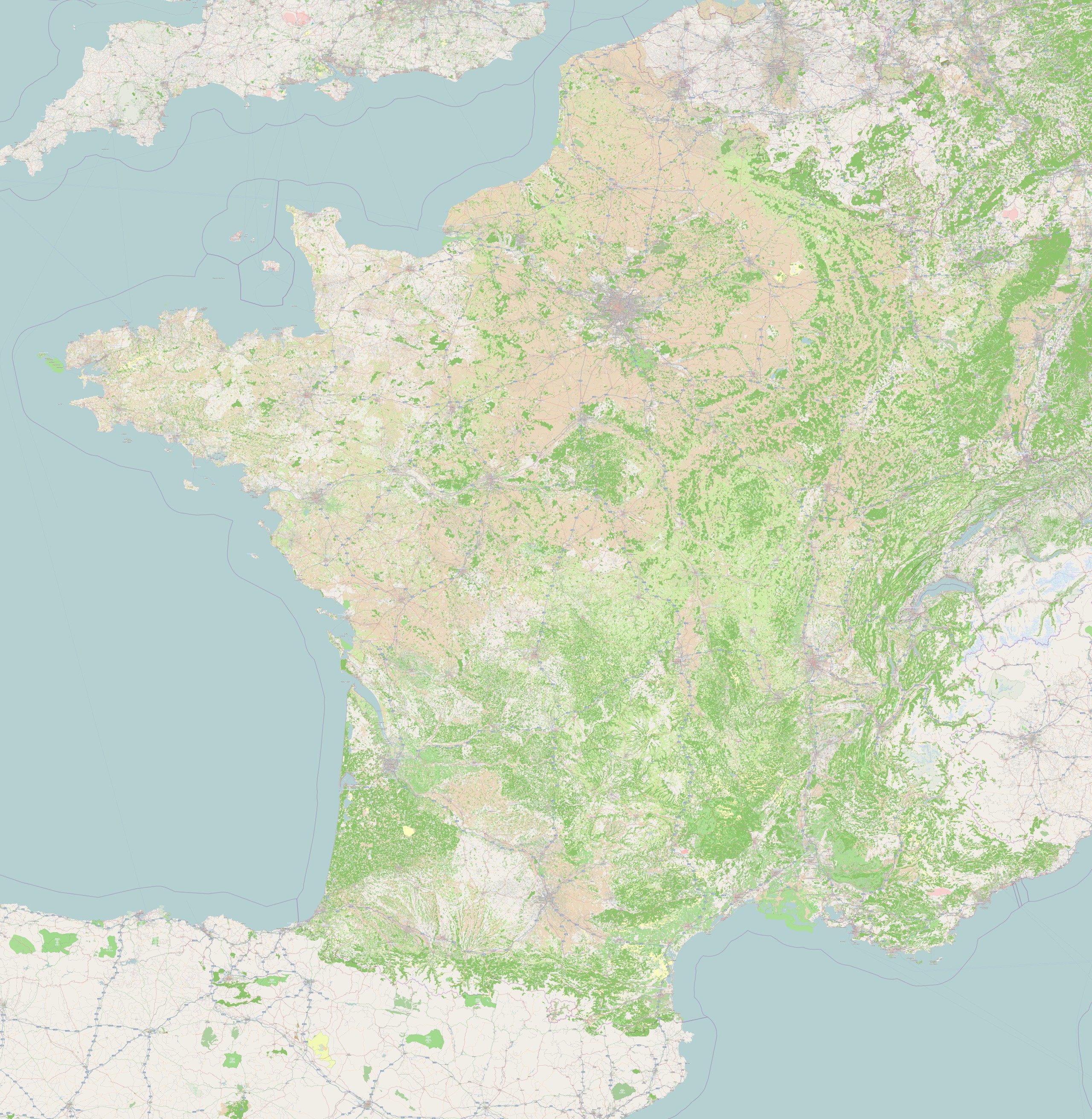
One year after the French land cover import, 69% of the country
includes land cover information.
Details of the French community Corine Land Cover project.
http://wiki.openstreetmap.org/wiki/WikiProject_France/Corine_Land_Cover
This is a Featured image, which means that it has been identified as
one of the best examples of OpenStreetMap mapping, or that it provides
a useful illustration of the OpenStreetMap project.
If you know another image of similar quality, you can nominate it at