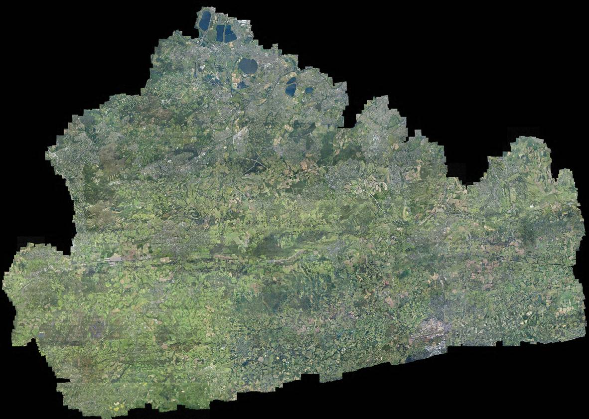
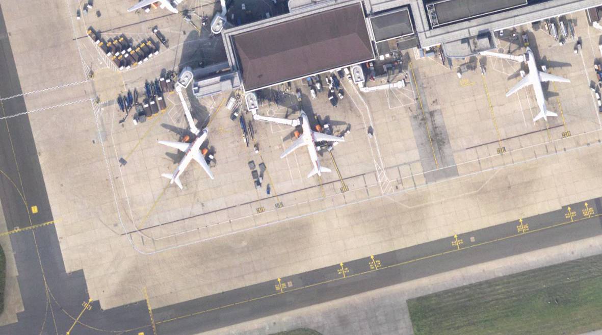
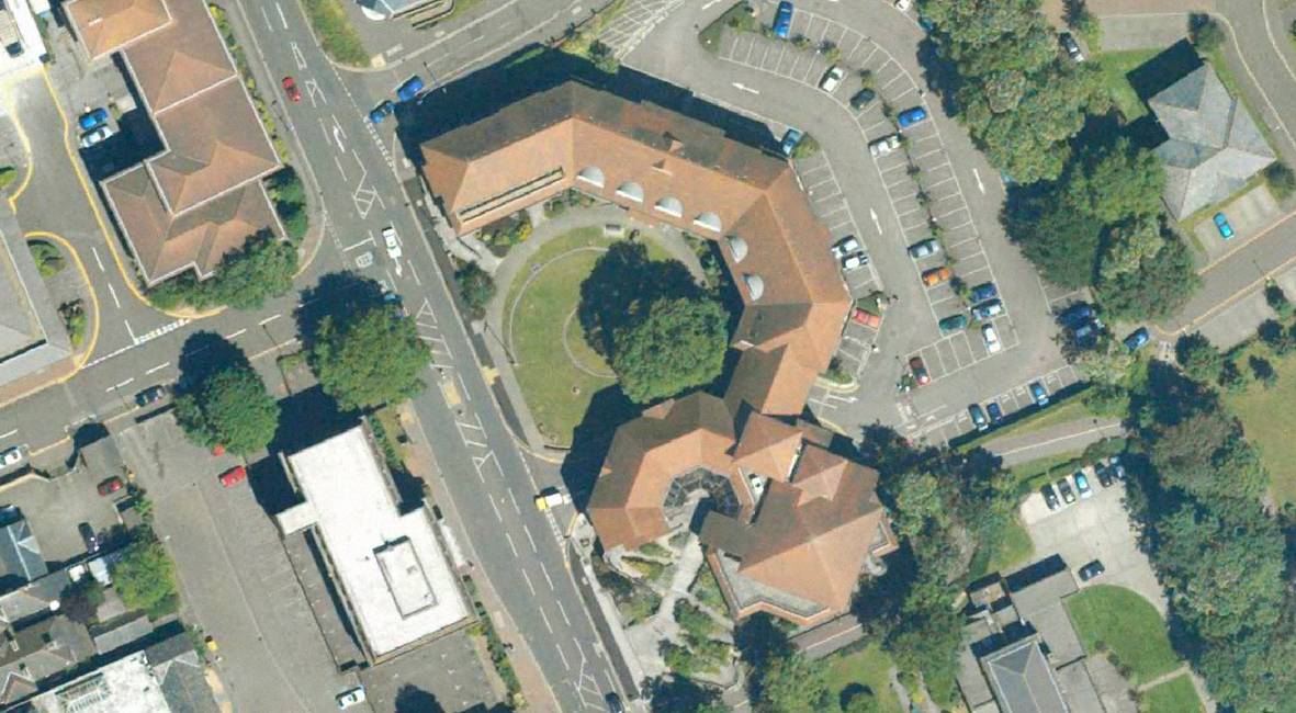
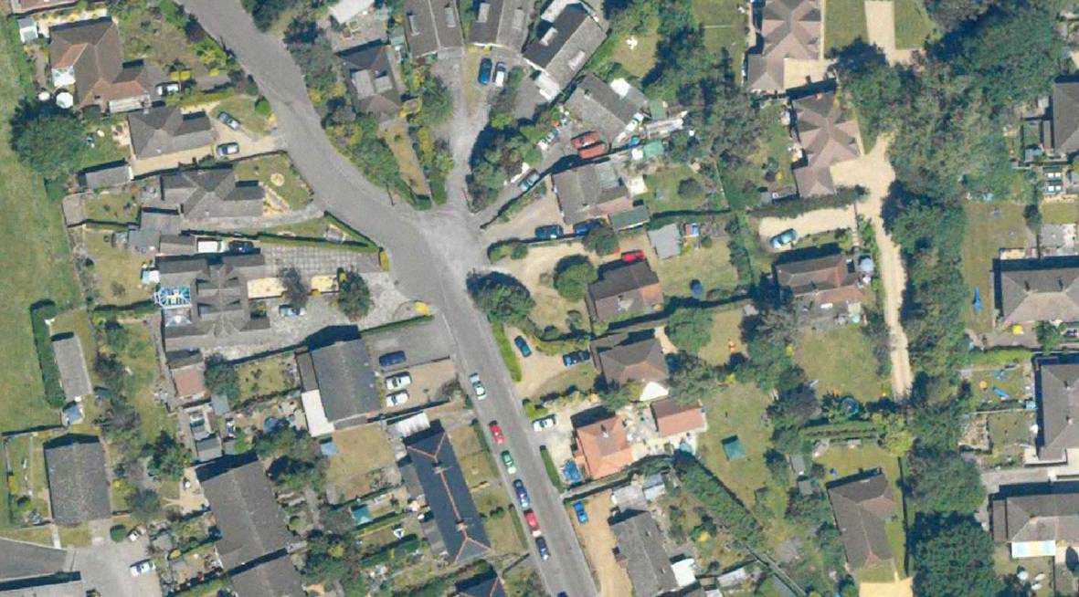
James Rutter from Surrey Heath Council in the UK writes that they’re going to be releasing a ton of aerial imagery for use in OpenStreetMap. Yay!
Check out the examples below!
James Rutter from Surrey Heath Council in the UK writes that they’re going to be releasing a ton of aerial imagery for use in OpenStreetMap. Yay!
Check out the examples below!
Imagery is already on the OSM dev server and is currently being processed.Screenshot of the tiles in Potlatch FTW:http://www.flickr.com/photos/gravitystorm/4545588749/Higher resolution shot of the area:http://grant.dev.openstreetmap.org/surrey-aerial/surrey-osgb.jpg
OMG! That’s amazing! There’s got to be a story behind them giving us all that data.
Is there an OSM wiki page (or similar) describing the details / status of this data?
Yeah the wiki page is here: http://wiki.openstreetmap.org/wiki/Surrey_Air_Survey